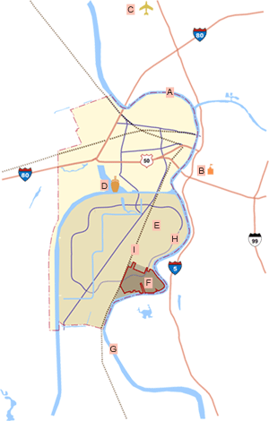
River Park, a 495-acre master planned village is located in the Southport Framework Plan area of the City of West Sacramento. It is well situated for access to locations within the city of West Sacramento and the downtown area of the city of Sacramento, a short distance north and northeast of the site, respectively. The River Park project area borders the Sacramento River to the east and south, Davis Road to the north, and the proposed Yolo Shortline Railroad “Rails-to-Trails” corridor to the west. Land uses west and south of Southport include unimproved agricultural and single-family residential. Across the Sacramento River to the east are the city of Sacramento neighborhoods of Land Park, Greenhaven, and the Pocket area; to the southeast are the city of Elk Grove and the community of Florin.